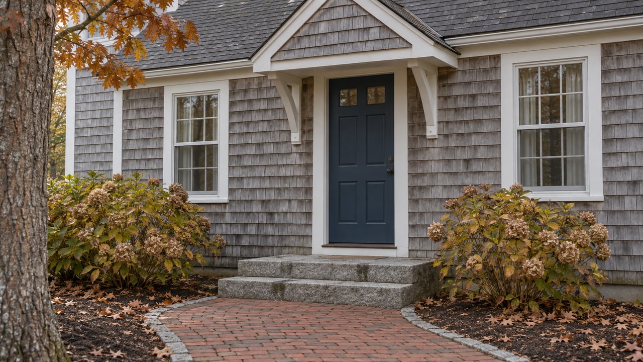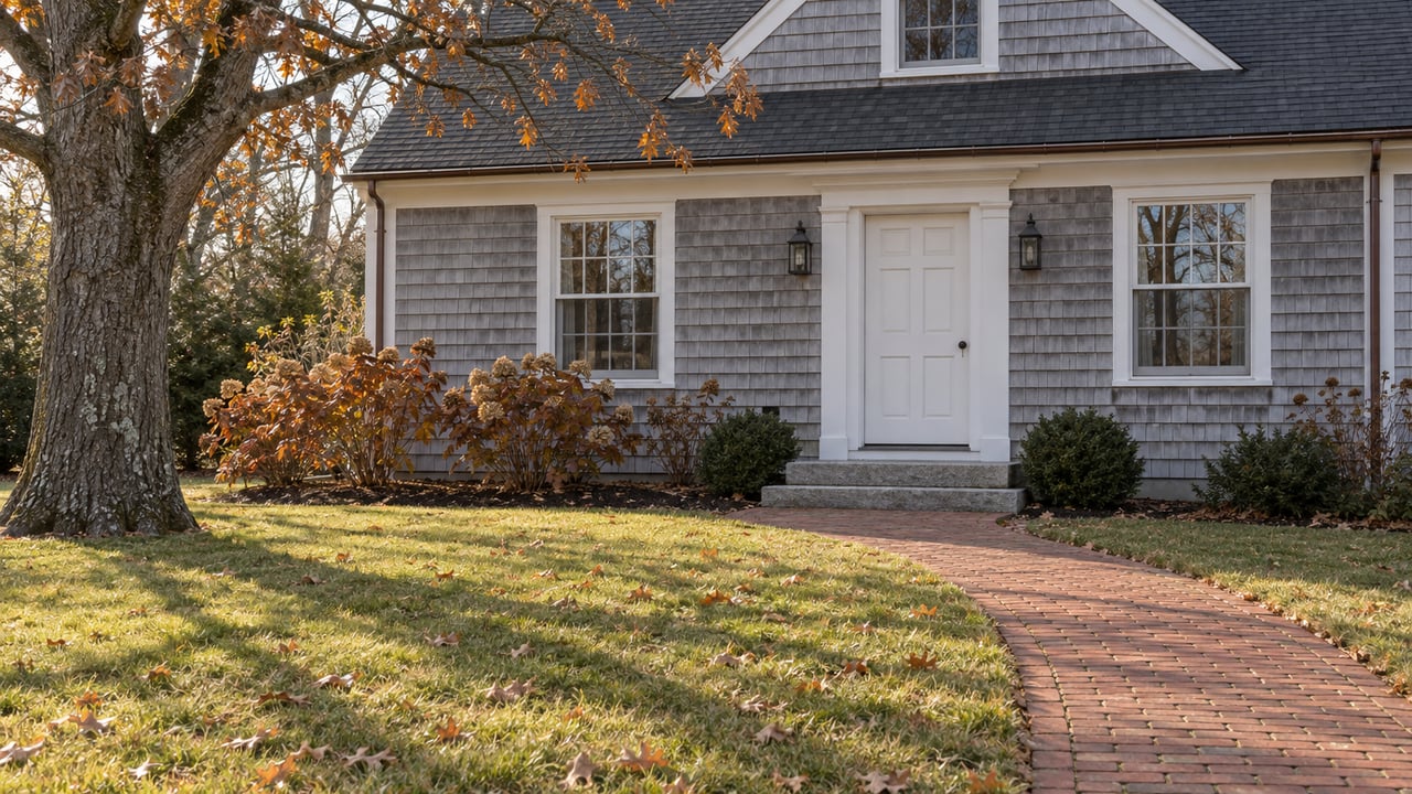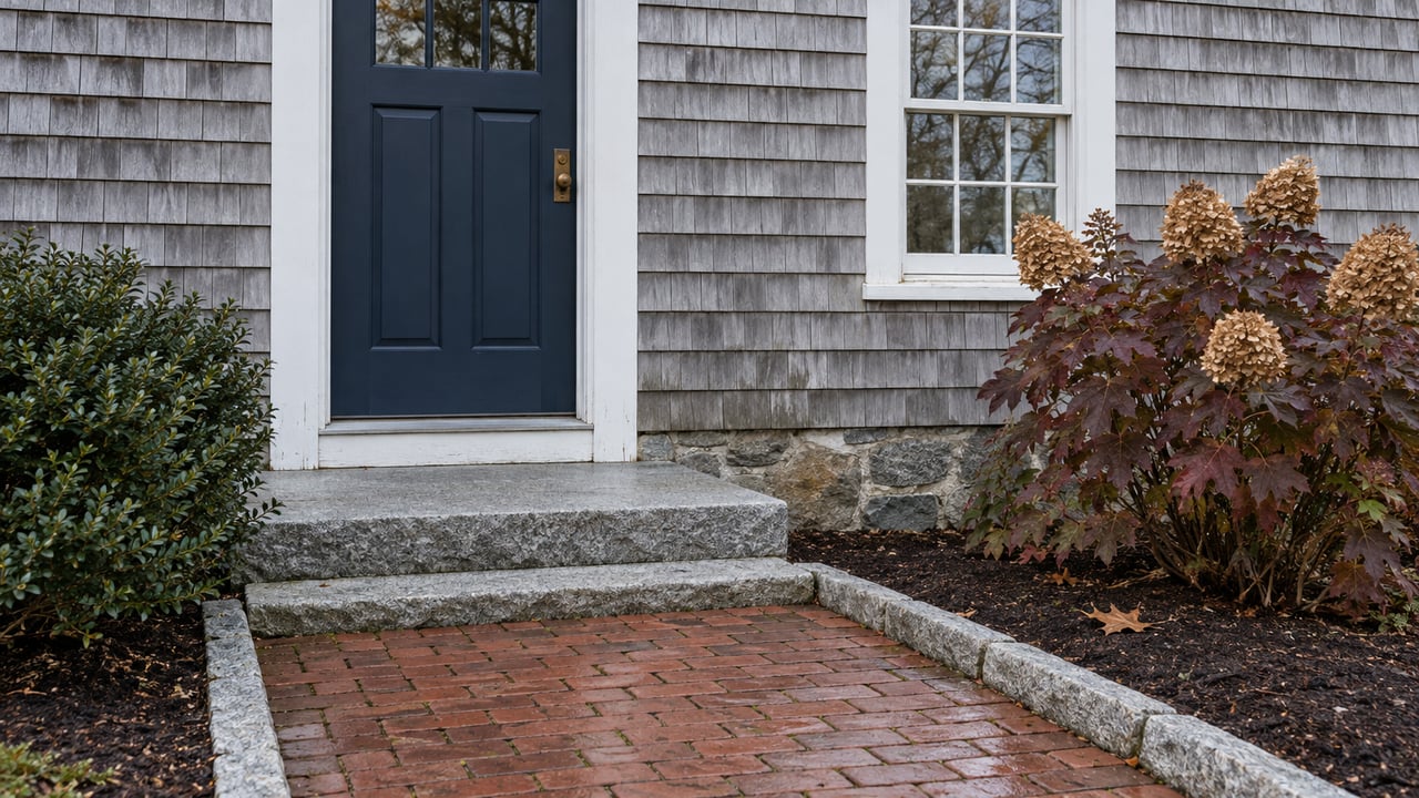
This fall the Town of Falmouth buried a column of wood chips beside Nashawena Street in West Falmouth. In spring it plans to inject food-grade vegetable oil into the ground across the street. Both are meant to stop nitrogen in groundwater before it seeps into Snug Harbor, the northeastern arm of West Falmouth Harbor. The project exists because a forecast made two decades ago turned out to be wrong. Running two methods side by side also makes this residential street the site of a comparison that, according to the project's consultant, nobody has run in the field before.
The Plume That Was Supposed to Be Gone by 2014
Snug Harbor's problem is old wastewater. In the words of the Falmouth Enterprise, an old plume of nitrogen from wastewater discharge has hurt the water quality of that corner of the harbor.
Consultant Kristen Rathjen walked the Falmouth Conservation Commission through the history at its May 13, 2026 meeting. The town upgraded its wastewater treatment facility in 2005. Modeling at the time showed the legacy plume should clear out of the system within seven years, so by 2013 or 2014. A 2014 review of possible barrier sites across Falmouth had ranked Snug Harbor as one of the top candidates. Because of the seven-year forecast, the town chose not to build there.
According to the minutes, the degradation kept going while the town waited. From 2005 to 2024, Ken Foreman and colleagues at the Marine Biological Laboratory ran a network of monitoring wells and used thermal imagery to find where groundwater was seeping into the harbor. Their data showed heavy groundwater inflow at Snug Harbor. As of 2024 the plume was still there. Nitrogen levels had dropped some but were nowhere near gone.
So the plume outlasted its forecast by about a decade. Foreman's MBL faculty profile describes what too much nitrogen does to shallow estuaries in general: macroalgae replace eelgrass, low-oxygen episodes become more common, and species such as scallops decline. In 2025 the town applied for and received about $450,000 through the National Estuary Program Watershed Grant Program. Town partners committed about $200,000 more in staff time and labor.
Two Barriers, One Street
A permeable reactive barrier is a passive treatment system buried in the path of groundwater. Neither of the two on Nashawena Street filters anything mechanically. Each one feeds carbon to microbes already living in the soil, and the microbes turn nitrate into nitrogen gas, a process called denitrification. The two barriers differ in the carbon they use and in how long they last.
| Vegetable-oil barrier | Wood-chip barrier | |
|---|---|---|
| Side of Nashawena Street | East | West |
| Position | Landward, along the Salt Pond Areas Bird Sanctuaries frontage | Farther south, on the seaward side, along the town parcel in the right of way |
| Depth | 15 to 40 feet below the surface | Up to 25 feet below the surface |
| Length as proposed | About 125 feet | About 125 feet |
| Installation time | Up to two weeks | About five weeks |
| Expected working life | About seven years | More than 15 years |
| Status this fall | Being redesigned around a gas line, with work set for spring | Complete |
The oil goes in through injection points and has to stay at least 100 feet from surface water. It sits well below the root zone, where no vegetation can reach it, and Rathjen called it the least disruptive option for the landscape. One commissioner asked why the town would use two technologies if wood chips work so well. The minutes summarize Rathjen's answer:
"The oil is less expensive from a labor perspective, though temporary. These two technologies have never been compared side by side in situ."
That answer explains the layout. Two different barriers sit on opposite sides of one street, intercepting the same groundwater on its way to the same harbor. The town plans at least one monitoring well upstream of each barrier, one inside each, and one downstream of the wood chips. Performance checks are set for at least every four months through the end of 2027. The barriers work by lowering oxygen in the groundwater. Because the harbor is well mixed, Rathjen told the commission, that low-oxygen water is not expected to affect the ecosystem.
Falmouth Has Used Both Methods Before
Each method has a track record in Falmouth, which is part of why this test was approved. At the head of Great Pond, the town's Water Quality Management Committee and the Woods Hole Oceanographic Institution installed a vegetable-oil demonstration in 2020 with a two-year dose. Nitrogen data from that site showed no oil backflushing up into the system.
The wood-chip record goes back further. In 2005, the same year as the treatment plant upgrade, Foreman's group dug a wood-chip trench on a bay shoreline. Water coming out the far side carried low nitrate, and algae growth on the shoreline directly downstream was held back. Fifteen years after installation the chips still held 80 percent of their carbon, enough to keep working for about 30 more years by the minutes' estimate.
The barrier that has lasted 15 years in Falmouth soil dates from 2005, the same year the town expected Snug Harbor to start clearing on its own.
The Barriers Are Meant to Buy Time
Rathjen's presentation was explicit about what the barriers are for. Their working lives give the town time to get through permitting for an ocean outfall. They also give it time to settle the bigger plan for West Falmouth Harbor, including whether the treatment plant will keep discharging in other parts of West Falmouth.
That outfall now has a draft environmental report. The Falmouth Enterprise reported that the town filed it with the state's MEPA office on June 30. The proposal would replace Falmouth's existing groundwater discharge system with a pipeline running about 2,300 feet offshore from Kite Park in Falmouth Heights into Nantucket Sound. The paper said that if the project wins regulatory approval, officials expect to seek final design funding in 2027 and construction funding in 2028, with operation possible between 2031 and 2032.
The two timelines fit together. If the oil barrier goes in this spring with its roughly seven-year life, it would run into the early 2030s, the same window the outfall could start operating. The wood chips are rated for more than 15 years and would last well past that. One barrier is sized to bridge the gap, and the other is a longer-term backstop. The Snug Harbor test will show which approach works better while the town-wide plan is still years from finished.
The Next Few Years Around West Falmouth Harbor
Nashawena Street is one of two water projects in this part of the village with set schedules. The other is the Oyster Pond culvert, where consultants from Woods Hole Group and Fuss & O'Neill have been collecting baseline data and working on design. Here is the sequence, based on the town's and the West Falmouth Village Association's current schedules:
- Spring 2027: The redesigned vegetable-oil section goes in on the east side of Nashawena Street.
- Through the end of 2027: Monitoring at least every four months compares the two barriers.
- 2027 and 2028: The town expects to seek design and then construction funding for the Kite Park outfall, pending approval.
- Around Labor Day 2028 through Memorial Day 2029: Oyster Pond culvert construction is expected. An early plan would have closed part of the Shining Sea Bikeway and sent riders onto Route 28A or Little Neck Bars Road. The Traffic Advisory Committee and DPW have asked that one lane of the path stay open during construction instead.
- 2031 to 2032: The earliest the outfall could be operating.
For a baseline on the wider harbor, the Buzzards Bay Coalition rates the outer West Falmouth Harbor "Good," at 76 out of 100. The score is a five-year rolling average with data through 2025. The Nashawena Street work targets the northeastern corner, where groundwater has been carrying the old plume in.
Walking the Watershed in November
The oil barrier runs along land owned by the Salt Pond Areas Bird Sanctuaries. The organization invites visitors onto its properties when they are not closed for functions or events and asks that posted rules be followed. Nearby, The 300 Committee Land Trust's Salt Pond preserve covers 35 acres between Salt Pond and the Shining Sea Bikeway. Its trails run through woods and along the pond's edge, with a few parking spaces where the bikeway crosses Elm Road. With the leaves down, the land is easier to read, and the path the groundwater takes from the woods toward the harbor is the same ground the new barriers are meant to clean.
When the Nashawena Street results come in, they will tell West Falmouth homeowners something about the harbor at the end of their street. At Ermine Lovell Real Estate, we follow projects like this one village by village, from the first Conservation Commission hearing through the monitoring years. If you'd like to talk about what the Snug Harbor work, the Oyster Pond culvert, or the outfall timeline means for a property you own or are thinking about, Talk with a Local Cape Expert.